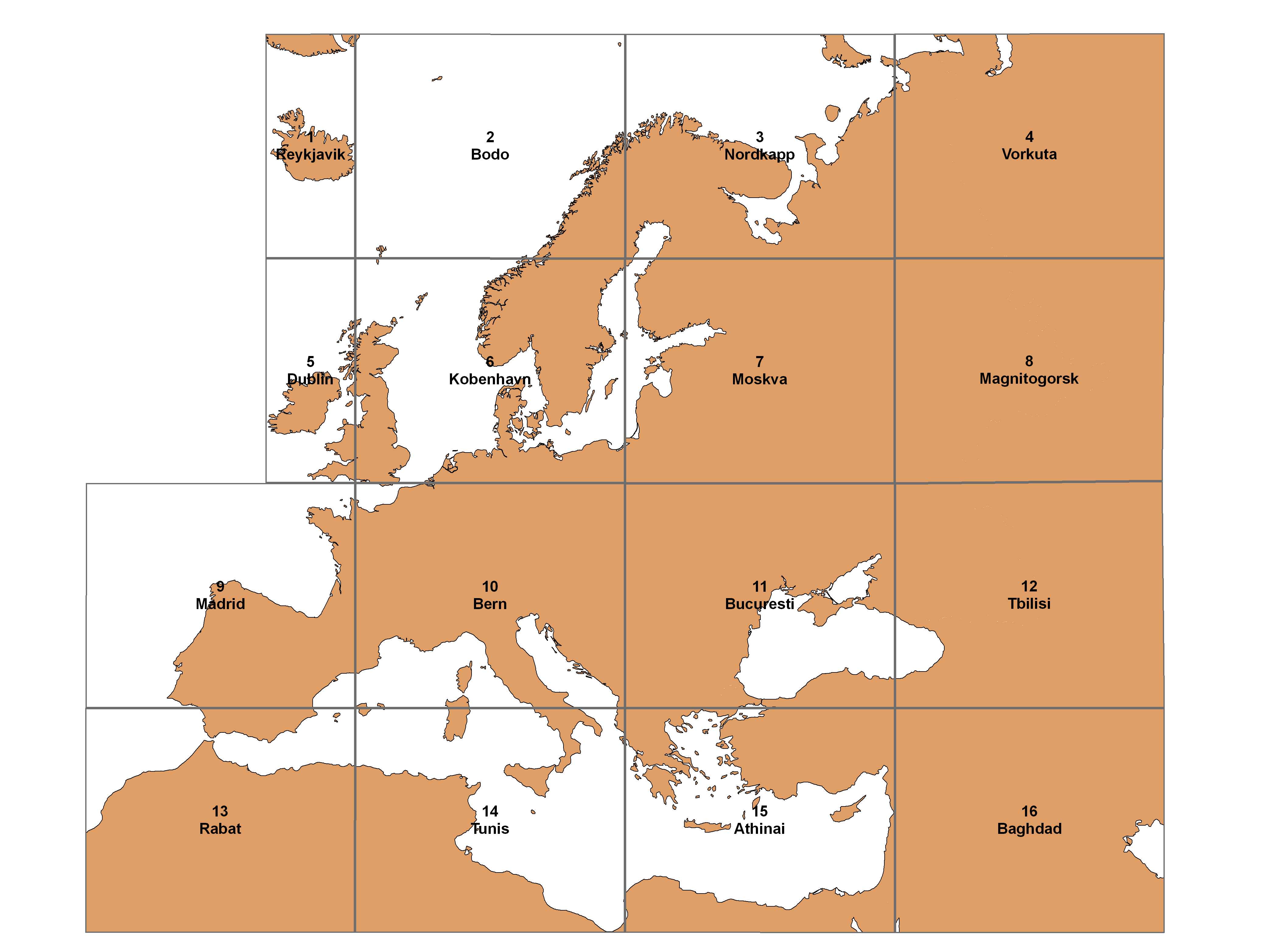
About: International Map of the Iron Ore Deposits of Europe 1:2,500,000 - Sheet 10 Bern Goto Sponge Distinct Permalink
An Entity of Type : http://www.w3.org/ns/dcat#Dataset,
within Data Space : resource.bgr.de associated with source document(s)
Spatial resolution (equivalent scale): 1:2500000
| Attributes | Values |
|---|---|
| rdf:type | |
| rdfs:comment |
|
| dcterms:title |
|
| dcterms:description |
|
| dcterms:identifier |
|
| dcterms:language | |
| dcterms:relation | |
| dcterms:type | |
| foaf:page | |
| dcterms:provenance | |
| dcterms:subject | |
| dcterms:spatial | |
| dcterms:issued |
|
| http://www.w3.org/ns/dcat#keyword | |
| http://www.w3.org/ns/dcat#contactPoint | |
| http://www.w3.org/ns/dcat#landingPage | |
| http://www.w3.org/ns/dcat#theme | |
| dcterms:accessRights | |
| foaf:isPrimaryTopicOf | |
| http://www.w3.org/ns/dcat#distribution | |
| is foaf:primaryTopic of | |
| is http://www.w3.org/ns/dcat#dataset of |

Faceted Search & Find service v1.17_git166 as of Sep 04 2025


![[RDF Data]](/fct/images/sw-rdf-blue.png)

OpenLink Virtuoso version 08.03.3334 as of Sep 4 2025, on Win64 (x86_64-generic-win-64), Single-Server Edition (16 GB total memory, 672 MB memory in use)
Data on this page belongs to its respective rights holders.
Virtuoso Faceted Browser Copyright © 2009-2026 OpenLink Software
![[csv]](/fct/images/csv_doc.png)
![[text]](/fct/images/ntriples_doc.png)
![[turtle]](/fct/images/n3turtle_doc.png)
![[ld+json]](/fct/images/jsonld_doc.png)
![[rdf+json]](/fct/images/json_doc.png)
![[rdf+xml]](/fct/images/xml_doc.png)
![[atom+xml]](/fct/images/atom_doc.png)
![[html]](/fct/images/html_doc.png)
OpenLink Virtuoso version 08.03.3334 as of Sep 4 2025, on Win64 (x86_64-generic-win-64), Single-Server Edition (16 GB total memory, 672 MB memory in use)
Data on this page belongs to its respective rights holders.
Virtuoso Faceted Browser Copyright © 2009-2026 OpenLink Software